
Map Marion County ZIP Areas
Marion County postal coverage is fragmented. The table groups verified standard ZIP codes by the community names and local areas found in the county research. Special, PO-box and county-edge candidates require an address-level check before use. USPS assigns delivery routes, while Marion County 911 assigns situs numbers and road names. The Property Appraiser and recorded legal description identify the land. Because those systems serve different jobs, the same address can carry an Ocala mailing label while remaining outside Ocala city limits.
| ZIP Code | Areas Covered | Post Office | Notes |
|---|---|---|---|
| 32111, 32113, 32133 | Candler, Citra, Eastlake Weir | Named community stations | Verify east-county addresses |
| 32134, 32179, 32182 | Fort McCoy, Ocklawaha, Orange Springs | Named community stations | Rural and county-edge routes |
| 32617, 32664, 32681, 32686 | Anthony, McIntosh, Orange Lake, Reddick | North Marion communities | Municipal and rural coverage varies |
| 34420 | Belleview and south county | Belleview | City and nearby county areas |
| 34431, 34432 | Dunnellon and west county | Dunnellon | 34430 is a PO-box route |
| 34470-34476 | Central, east, southeast and southwest Ocala areas | Ocala stations | Several routes cross city limits |
| 34479-34482 | Northeast, southeast, southwest and northwest Ocala areas | Ocala stations | Includes retirement and horse-farm corridors |
| 34488, 34491 | Silver Springs and Summerfield | Named community stations | East and south county |
Special candidates include 32183, 34421, 34430, 34477, 34478, 34483 and 34492. Treat them as possible PO-box or special postal uses until USPS confirms a specific address. Weirsdale codes 32192 and 32195 and edge candidates 32667 and 32668 also need parcel-intersection checks. Research found no official ready-made county table and no verified historical ZIP realignment, so unsupported split dates are omitted.
Read Ocala ZIP Code Areas
Ocala routes form the densest part of the Marion County ZIP code directory. ZIP 34470 covers east and central Ocala around Fort King and Silver Springs Boulevard. ZIP 34471 includes downtown and southeast Ocala. ZIP 34472 reaches the Silver Springs Shores area, while 34474 follows much of the State Road 200 corridor. ZIP 34475 covers north and northwest Ocala, 34476 southwest Ocala, 34479 northeast Ocala and 34480 southeast Ocala. Several mix incorporated and unincorporated parcels.
ZIP 34473 is the clearest warning against reading a mailing label as a city boundary. It covers the Marion Oaks area in the southwest, which is largely unincorporated despite an Ocala postal name. ZIP 34481 includes southwest-county retirement communities near On Top of the World, and 34482 covers the northwest horse-farm corridor. For permits, code records or city services, check the parcel jurisdiction instead of relying on the word Ocala.
Mailing-label myth. An Ocala postal city does not prove that a parcel lies within Ocala municipal limits.
Browse Rural Marion ZIP Codes
North Marion includes Anthony 32617, McIntosh 32664, Orange Lake 32681 and Reddick 32686. Citra uses 32113. East and southeast routes include Candler 32111, Eastlake Weir 32133, Fort McCoy 32134, Ocklawaha 32179 and Silver Springs 34488. Orange Springs 32182 reaches the northeast county and Putnam edge, so one address should be checked before assigning county jurisdiction.
South and west Marion use Belleview 34420, Dunnellon 34431 and 34432, and Summerfield 34491. Weirsdale routes 32192 and 32195 need address verification near the county edge. Micanopy 32667 and Morriston 32668 remain candidate edge ZIPs until a parcel intersection confirms Marion County. Codes 33538 and 34785 should not be added without that proof. Rural delivery areas are broad, and neighboring street numbers do not guarantee the same ZIP or local government.
Verify a Marion County ZIP
The USPS ZIP Code Lookup is the best source for one deliverable address. Use Find by Address when the street, city and state are known. City and State search can list ZIPs associated with a mailing community, but it cannot prove that every code lies wholly inside Marion County. Record the standardized address and ZIP+4 exactly as returned.
Open the official USPS lookup before testing an edge or special code.
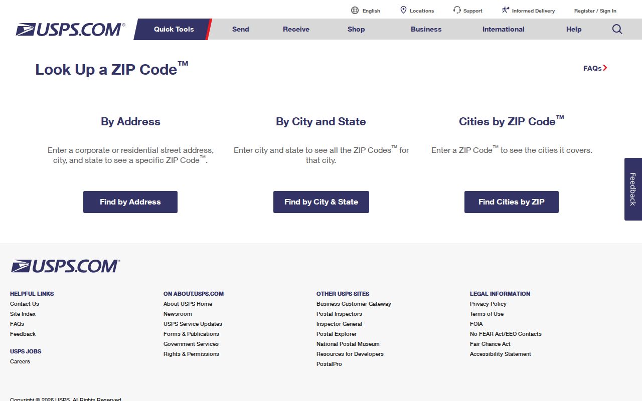
The result confirms mail routing for that address. It does not establish city limits, school zones, emergency response or taxable parcel ownership.
- ZIP code
- A postal routing code assigned by USPS.
- ZIP+4
- The basic ZIP plus four digits that narrow a delivery segment.
- PO-box ZIP
- A code used mainly or only for post-office boxes.
- Carrier route
- A group of addresses served in one delivery route.
Find Marion Residents by ZIP
A ZIP code directory narrows a large county, but official rolls return different kinds of entries. The Property Appraiser and county GIS publish a ZIP attribute for parcels. A ZIP filter therefore finds taxable parcels and their assessed owners, not a complete roster of residents. Marion Elections can prepare permitted public voter data by written request, subject to protected fields and addresses. USPS should verify the postal code before either county search begins.
- Enter the complete street address in USPS Lookup and save the standardized ZIP and ZIP+4.
- Search the Marion Property Appraiser or GIS ZIP field. Keep the parcel number, situs address and owner mailing address distinct.
- For permitted voter data, contact Marion Elections with a narrow written ZIP scope and requested fields.
- Move from the postal area to one street or parcel, then verify the person through a second official record.
Once the area is narrowed, the By Street explains the finer address and parcel path. Do not infer who lives at a parcel from its owner name alone. A mailing address may belong to an owner elsewhere, while a trust or company can hold title.
Filter Marion Parcel ZIP Fields
The county’s official Parcels and Subdivisions GIS layer documents parcel, situs and ZIP attributes. It supports field queries, distinct values, statistics, distance queries and pagination, with a 5,000-record response cap. These tools make ZIP-level parcel analysis possible, but the output remains land data. It does not count residents, postal customers or registered voters.
| GIS field | Use in a ZIP search |
|---|---|
| Parcel identifier | Stable 12-character land-record key |
| Situs address | Physical location assigned to the parcel |
| ZIP attribute | Groups published parcel addresses by postal code |
| Legal description | Connects land across address spelling or number changes |
Inspect the official GIS layer fields before interpreting a query.
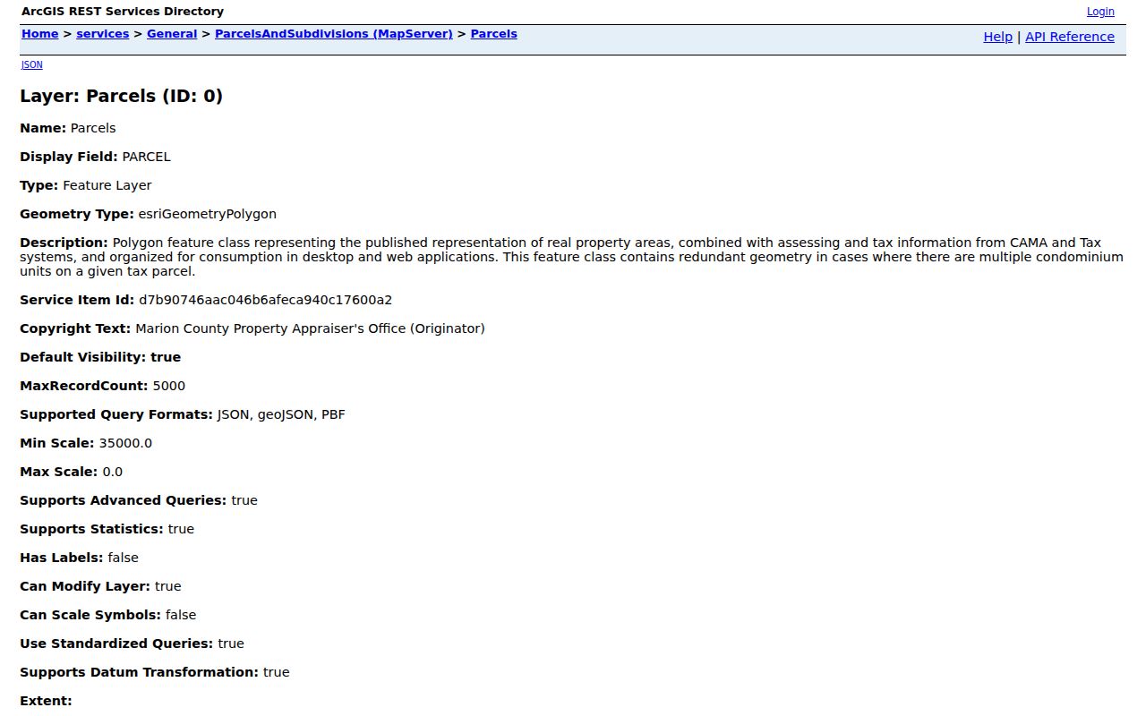
The field list explains what a ZIP filter can return and why the result cannot serve as a resident count.
Compare Marion ZIPs and ZCTAs
Census ZIP Code Tabulation Areas, or ZCTAs, are statistical approximations built from census blocks. They are useful for population tables and broad area comparisons. They are not USPS delivery boundaries. A ZCTA map cannot confirm the correct mailing code for one home and cannot determine municipal jurisdiction.
Read the Census ZCTA guidance before using demographic data.
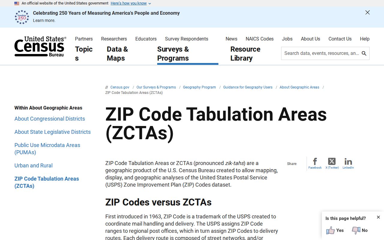
The Census explanation makes the distinction clear: use ZCTAs for statistics and USPS for mail delivery.
Marion County’s fast growth also makes dates important. The county estimate reached 442,660 on July 1, 2025, up from 375,908 in the 2020 census. A ZIP-based parcel or directory extract can become stale as new subdivisions, retirement communities and rural tracts change.
Check Marion Special ZIP Codes
Several codes in the working county inventory should be published only with a warning. Ocklawaha 32183, Belleview 34421, Ocala 34477, 34478 and 34483, and Summerfield 34492 may represent special or PO-box use. Dunnellon 34430 is identified as a PO-box route. A post-office box can connect a person or organization to mail received at a station, but it does not identify a street residence or parcel.
County-edge codes also deserve care. Orange Springs 32182 reaches toward Putnam County. Weirsdale 32192 and 32195 sit in the southeast. Micanopy 32667 and Morriston 32668 are candidate codes that need a confirmed Marion parcel intersection. The ZIP code directory intentionally excludes 33538 and 34785 unless such an intersection is proved. This avoids turning a nearby mailing community into unsupported county coverage.
For a special code, search one full address through USPS, then check the situs against the Marion parcel GIS. If the address has no parcel because it is a post-office box, record that limit. Do not substitute a station address for the person’s home. A ZIP-wide voter extract, when lawfully requested, also has exemptions and is not a complete neighborhood roll.
Read Marion ZIP Results Carefully
A ZIP filter can organize a search without proving residence. In the Property Appraiser roll, the result identifies taxable parcels and assessed owners. The situs field is the physical parcel address. The mailing field is where tax notices go and may be outside Florida. Homestead information can support an owner-occupancy inference, but even matching situs and mailing addresses do not list the whole household. A trust, estate or company can also hold title.
Voter records answer a separate question. The permitted public file may include a residence address, mailing address, party, status, registration date, precinct and election participation. It never reveals ballot choices. Social Security numbers, state ID numbers, signatures, preregistered-minor information and protected-address classes are exempt. A narrowly framed ZIP extract from Marion Elections can be useful for civic or family research, but it is not a complete count of everyone living in the postal area.
Population statistics add a third layer. Census ZCTAs approximate ZIP-shaped areas for tabulation, while USPS routes mail and county GIS maps parcels. Their totals will not match because their units and update schedules differ. Label each table with the source and date. When the goal is one person, move from the broad ZIP to a full address and then to a dated official index. When the goal is jurisdiction, ignore the preferred postal city and inspect the municipal or county boundary.
Separate Marion ZIPs from Limits
Postal city, municipality, county and ZCTA are different boundaries. Marion County contains Ocala, Belleview, Dunnellon, McIntosh and Reddick plus extensive unincorporated land. A postal label can say Ocala while the parcel lies under county permitting and code jurisdiction. Conversely, a named rural community may not be an incorporated town. Check the parcel jurisdiction before seeking permits, city minutes, utilities or code cases.
Marion County 911 Management oversees county road names and situs numbers from 2710 East Silver Springs Boulevard. USPS assigns ZIP routing. The Property Appraiser connects a parcel to its legal identity. In deed research, the legal description survives changes that can break a plain street or ZIP search. Ocala’s 1958 quadrant naming plan, when most streets were renamed, is one reason older records need plats and city directories rather than a modern ZIP alone.
- Situs address
- The physical parcel location used by county land records and emergency addressing.
- Owner mailing address
- The destination for tax notices, which may be outside Marion County.
- Legal description
- The plat, lot, block or metes-and-bounds identity used in deeds.
- Municipal limit
- The legal city boundary that controls city services and records.
The Ocala Metro Chamber and Economic Partnership can help identify organizations associated with the Ocala area, but it is not a resident roll.

Regional names often extend beyond city limits, so any organization or address found there still needs an official ZIP and jurisdiction check.
Municipal records follow the legal boundary. Ocala, Belleview, Dunnellon, McIntosh and Reddick keep their own records for matters within their jurisdictions, while Marion County offices cover countywide parcels or unincorporated services according to the series. A city clerk cannot supply a county parcel record, and the county cannot supply every municipal permit merely because the mailing line says Marion County. Confirm the custodian after confirming the parcel.
For a practical handoff, save four facts: the USPS-standardized address, the county parcel number, the jurisdiction shown by GIS and the date each system was checked. Those fields let a clerk locate the right series and let a later researcher see why an Ocala mailing name led to a Marion County office. This small record also guards against stale results when roads, subdivisions or postal routes change.